


Revistas
-

Aporte Santiaguino
Online ISSN: 2616-9541 Print ISSN: 2070-836X
La revista de investigación Aporte Santiaguino es una publicación científica de periodicidad semestral. Tiene como objetivo difundir los resultados de los trabajos de investigación desarrollados en los ámbitos regional, nacional e internacional, como una contribución a la solución de la problemática natural, social y cultural, La revista publica artículos científicos originales e inéditos en las áreas de ingeniería. Los trabajos recepcionados son evaluados por árbitros externos según criterios de calidad.
-

Economía & Gestión Chaninchaatsiq
Sobre la revista
Economía & Gestión Chaninchaatsiq, es una revista que promueve publicaciones científicas en los campos de la economía, contabilidad, finanzas y administración, de especial interés para las actividades académicas e investigativas de docentes, investigadores, tomadores de decisiones y estudiantes
ISSN: 3028-9904 (En línea)
Acreditada por el Fondo Editorial de la UNASAM
-
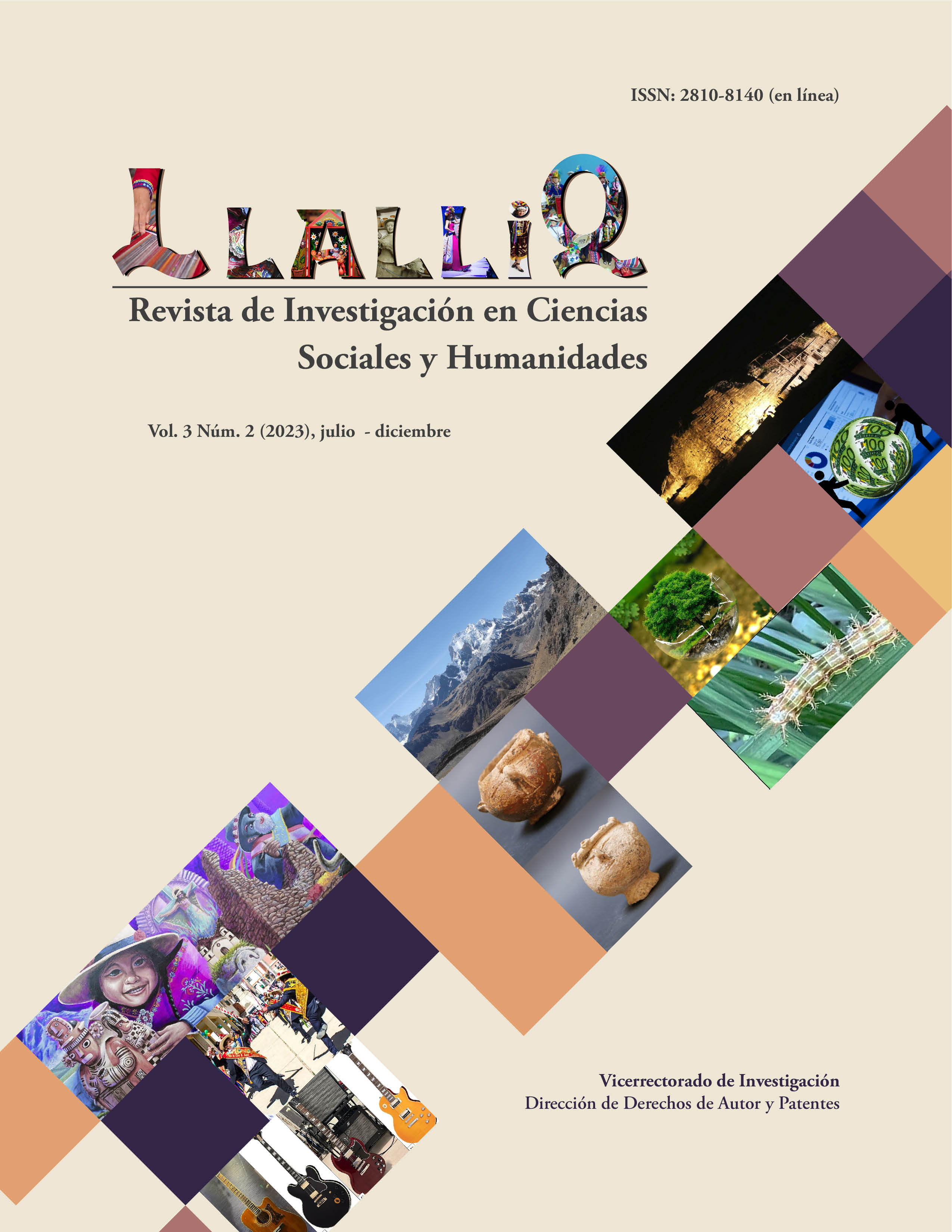
Llalliq
ISSN: 2810-8140 (En línea)
LLALLIQ, es una revista de investigación y arbitrada por la Dirección de Editorial Universitaria del Vicerrectorado de Investigación de la Universidad Nacional «Santiago Antúnez de Mayolo» (Huaraz, Perú). Tiene como objetivo publicar y difundir los resultados de las investigaciones en el campo de las Ciencias Sociales y Humanidades (Psicología, Economía, Negocios, Administración, Educación, Sociología, Antropología, Derecho, Política, Comunicación, Bibliotecología, Periodismo, Historia, Arqueología, Filosofía, Ética, Religión, Arte, Música, Literatura, Lingüística, Idiomas, Artes, Radio y Televisión) realizadas por la comunidad científica santiaguina, así como de otras universidades, centros e institutos de investigación tanto nacional como internacional.
Indización: Latindex catálogo 2.0, Alicia.
Acreditada por el Fondo Editorial de la UNASAM -

Saber Discursivo
Saber Discursivo es una revista académica editada por el Vicerrectorado Académico de la Universidad Nacional Santiago Antúnez de Mayolo (Huaraz, Perú). Tiene como objetivo publicar y difundir artículos de las áreas de ciencias sociales y Humanidades desarrollados por la Comunidad Académica Santiaguina así como de otras universidades, tanto nacionales como extranjeras.